
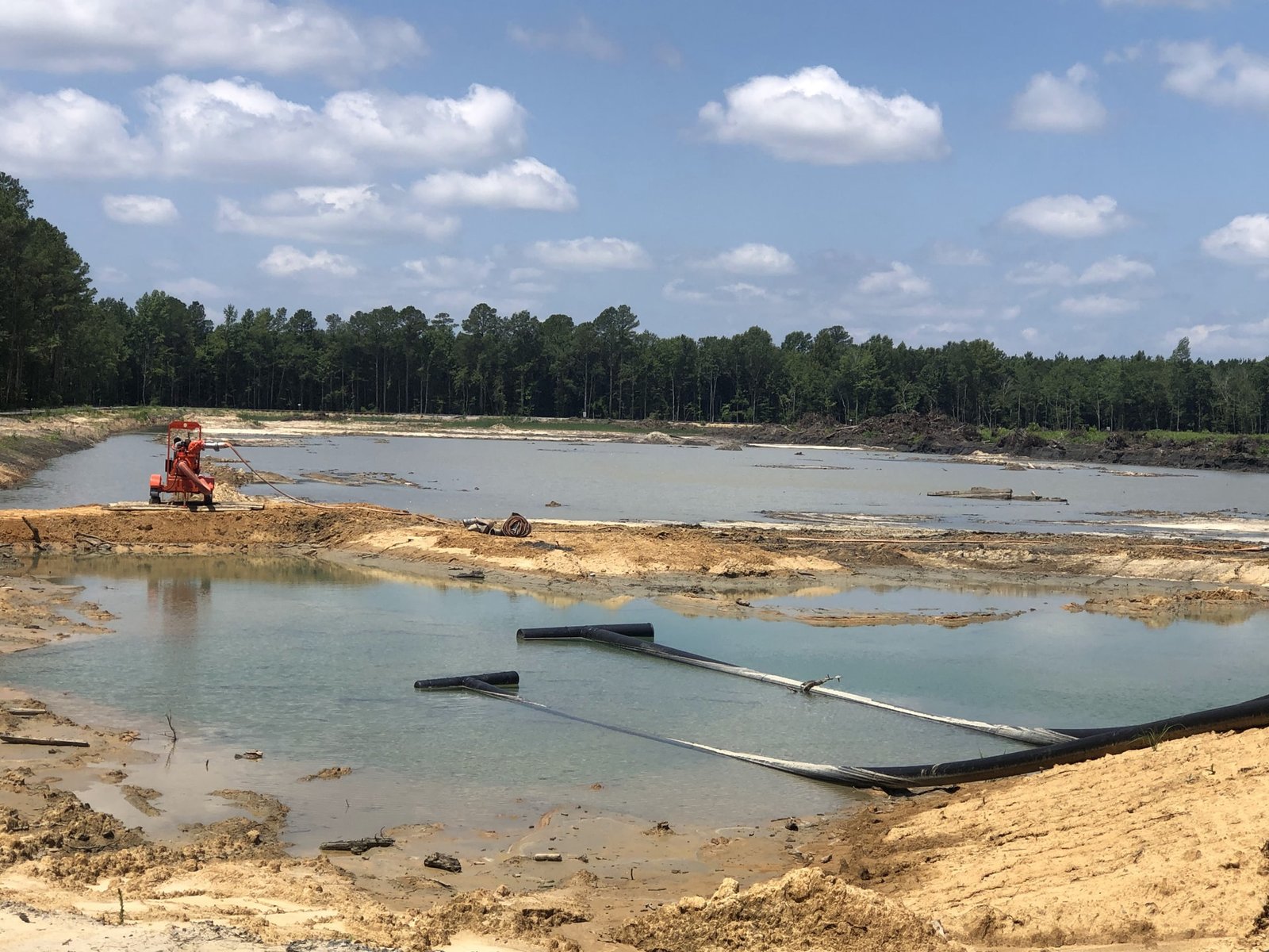
Fifty-foot earthen levees flank the Trinity River through Dallas, and the reason they exist is the same reason a developer digs a basin on the corner of a parking lot: water has to go somewhere, and it is cheaper and safer to decide where than to leave it to chance. Pond and basin excavation is the earthwork side of stormwater management. It covers detention ponds, retention ponds, water quality basins, sediment traps and the swales that feed them, from the first cut to the finished side slope and outfall.
The excavation is simple to describe and unforgiving to get wrong. The volume has to match the design, because a pond that holds ten percent too little fails the drainage study. The side slopes have to be stable, because a bank that sloughs fills the basin with sediment. The floor has to be at the design elevation and the outfall at the design invert, because a pond that drains too slowly floods the site and one that drains too quickly defeats its purpose. We build these basins as precisely as we build a building pad, because they carry as much risk.
What the design asks of the excavation
A pond is a volume with a controlled outlet, and every dimension is tied to a calculation. The engineer sizes it for the storm the city requires, sets the bottom elevation, the normal pool or dry bottom, the side slopes, the emergency spillway and the outfall structure. Our job is to excavate to those numbers, verify them by survey, and flag any conflict with soil or groundwater early.
Groundwater is the usual surprise. A basin that cuts below the water table becomes a permanent pond whether it was meant to or not, and it can fill during construction and stop the work. Soil matters as well: sandy banks slump, clay banks hold but can slick, and rock may limit the depth. We review the borings with the pond locations and propose changes when the logs say the design will be hard to build as drawn. Where the basin must be dry, dewatering is planned before the excavator arrives.
Why water storage is getting larger in Texas
Flood planning is changing the scale of the work. The Dallas section of the Trinity River is flanked on both sides by 50 foot tall earthen levees, and the Trinity River Project area reaches over 20 miles within the city, with a Land Use Plan covering approximately 44,000 acres. Those numbers describe a river corridor, but the same logic of earthen containment and engineered storage applies at every scale, down to the basin that serves a single building.
On the coast, storm surge and rainfall flooding have to be managed together. The Coastal Texas program, approved in the Water Resources Development Act of 2022 signed December 23, 2022, carries a $34 billion estimate, includes gates across the Houston Ship Channel between Galveston and the Bolivar Peninsula plus Galveston Seawall improvements and a ring barrier on the island's backside, and could take up to 20 years to build, according to Waterways Journal. Dredging Today reported in January 2023 on the $703-million Freeport Project, improvements to the existing Hurricane Flood Protection Project, intended to reduce coastal storm surge flood risk without increasing flooding from local rainfall. Large public programs like these raise the expectations for private sites to manage their own runoff well.
From staking to a stabilized bank
We stake the pond limits, strip and stockpile the topsoil, and excavate in lifts to the design bottom, usually working from the outfall end so that water drains as we go. Material is hauled to the fill areas on site where possible, and spoil quality is checked, because the clay from a pond bottom can be useful for the embankment of the same pond, and the sand cannot.
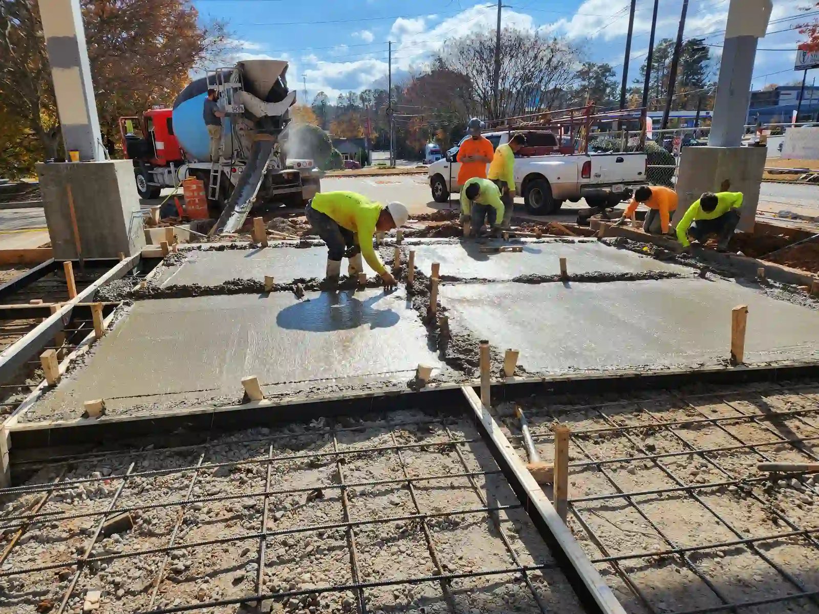
Side slopes are trimmed to the design ratio, commonly three to one or flatter for mowing and safety, and the bottom is graded to the specified slope toward the outlet. We place the outfall structure, riprap or concrete at inlets and outlets, and the emergency spillway. Slopes are then stabilized with seed and erosion control blankets, or with sod where the plan calls for it. Detention and retention ponds built with a concrete outlet structure or a lined bottom are covered by our companion service.
Using the basin during construction
A good plan uses the pond twice. The basin is dug early and serves as a sediment trap while the site is under construction, then it is cleaned out and finished to its final grades at the end. That requires a plan for the temporary outlet, a baffle or a skimmer, and a schedule for cleaning accumulated sediment, and it ties the pond directly to the erosion control and SWPPP program.
We watch the weather closely while the basin is open. A pond bottom that has been cut and rained on can turn to soup, and a bank that has been undercut by flowing water can fail. We protect the exposed slopes, keep equipment off the soft bottom and maintain a safe exit from the pond for the crew. Safety matters around water, and we mark the edges and keep a ladder or a ramp in the basin.
Volume, soil and where the spoil goes
Excavated volume is the first number, because every yard has to be dug, loaded and moved. The second is what to do with it. If the pond's spoil can balance with site fill, the cost is mostly the dig. If not, haul-off adds to the price, and the import, export and haul-off section of the bid becomes the biggest line.
Rock and groundwater are the other cost drivers. Hard ground slows the machines and may require breaking, and groundwater requires pumping and may lead to a liner. We price the base case from the borings and carry unit prices for rock and for pumping, so the owner's risk is capped and visible. General contractors and construction managers who want a firm number for the site package can ask for it by phase.
Give us the pond volume
Give us the pond volume, the outfall details and the borings. We will tell you what the dig involves, where the spoil goes and how the basin can serve as a sediment trap during construction.
We survey the finished basin so you can prove the capacity to the city.
Common Questions
How do you verify the pond volume?
We survey the finished basin at a grid or with a drone and compare the result to the design surface. The survey gives the volume at each elevation, and the engineer uses it to confirm the design capacity.
What side slope should a pond have?
The design sets it, commonly three horizontal to one vertical or flatter. Flatter slopes are safer and easier to mow, steeper slopes save land but need protection and may need a fence.
Can a pond be lined?
Yes. If the soil is sandy or the pond must hold water, the design may call for a clay liner, a geosynthetic liner or a concrete bottom. We install clay liners with compacted lifts, and we coordinate with specialist installers for geosynthetics.
What happens if we hit groundwater in the dig?
We stop, assess the inflow and pump if the design allows. The engineer may revise the bottom elevation or the outlet, and we price the change by unit rate. Early borings reduce the chance of surprise.
Who maintains the pond after construction?
The owner or an association usually does. We provide as-builts and a note on sediment cleanout so they know what to expect. Regular inspection and mowing keeps the basin working as designed.